Photo courtesy by NASA
Hurricane Seymour brings much anticipated rain
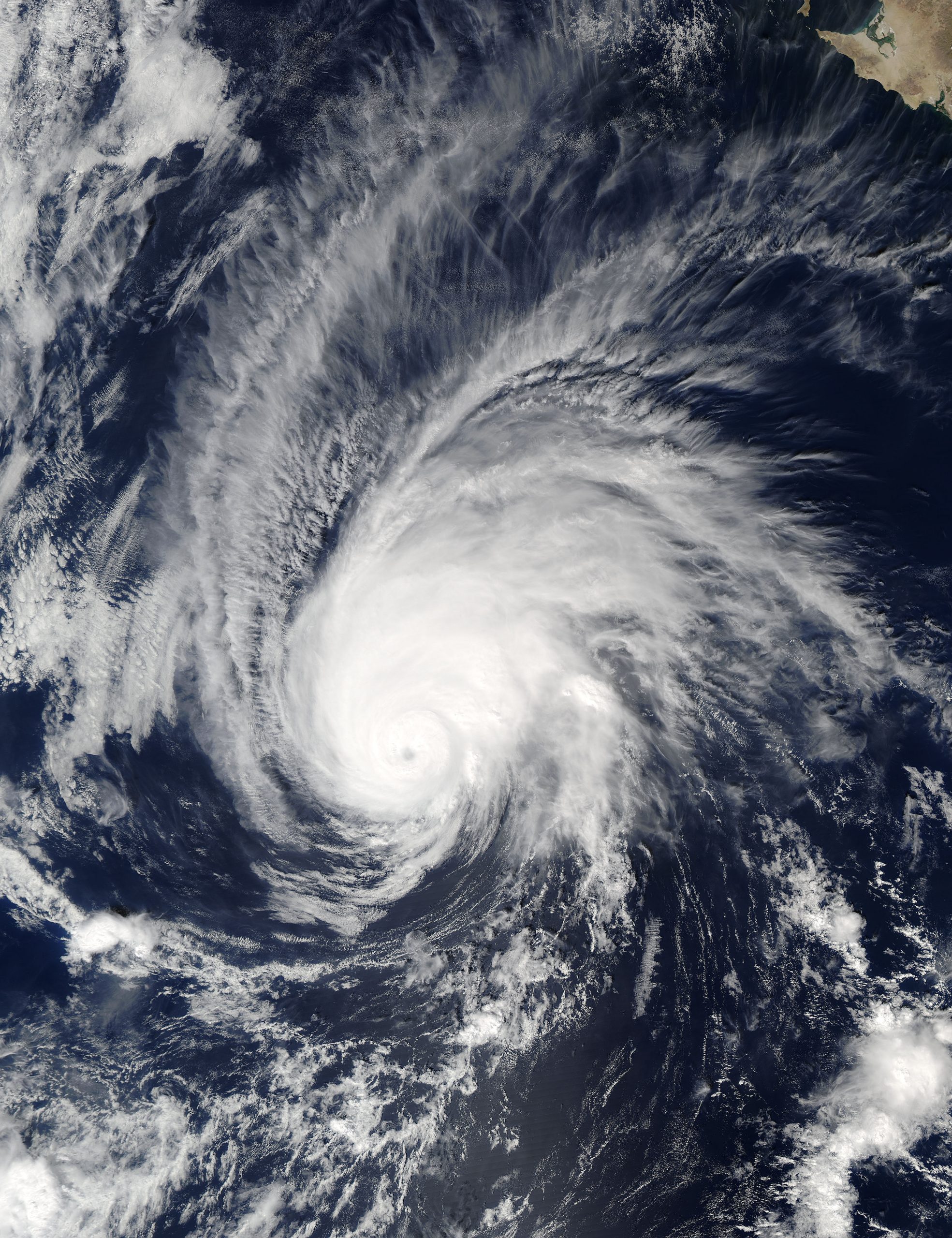
Early in the morning on Oct. 24, the NASA-NOAA Suomi NPP satellite passed over the eastern Pacific Ocean spotting a large, swirling formation of clouds. A hurricane was in the process of forming.
A day prior to Oct. 24, the tropical depression 20 had just formed in the eastern Pacific Ocean. It had become Hurricane Seymour the very next day. Seymour was only a Category 2 hurricane by the time Suomi NPP passed over it. The winds were capable of increasing up to approximately 100 miles per hour (mph).
On Oct. 25, Seymour intensified and became a major hurricane, a Category 3 hurricane with winds reaching up to 115 mph. The hurricane was approximately 820 miles west-southwest of the southern tip of Baja California, Mexico. Seymour seems as if it may wreak havoc in many populous cities along the coast; it was forecasted to not touch land and to weaken by Oct. 26.
Seymour brought tropical moisture to nearby coasts, increasing the chances of rainfall. In southern Calif., rainfall is a vital asset in tackling the drought head-on. However, with rain in Calif. comes flood warnings, mudslides, and the chance of being stuck behind a reckless driver or a driver going slower than the average speed limit. Commuting to and from school may be delayed by several minutes.
The National Hurricane Center said that Seymour was expected to move north-northwest at 12 mph and weaken to a tropical storm with low-pressure systems on Oct. 28.